Fort Constitution (Fort William and Mary)
Portsmouth NH Building Photos Thumbnails Buildings Home
|
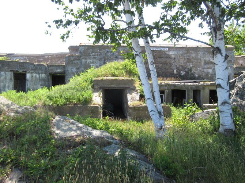
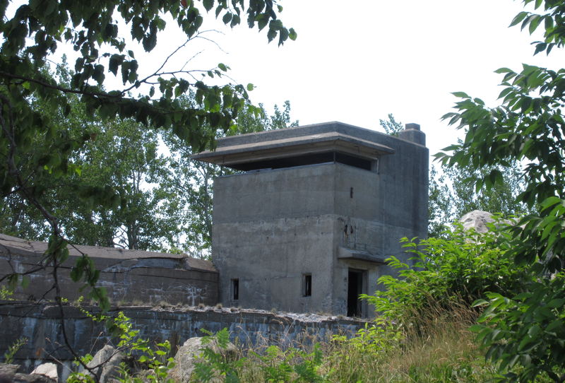
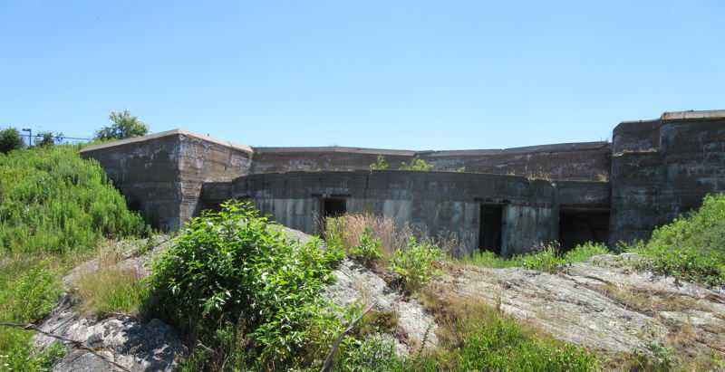
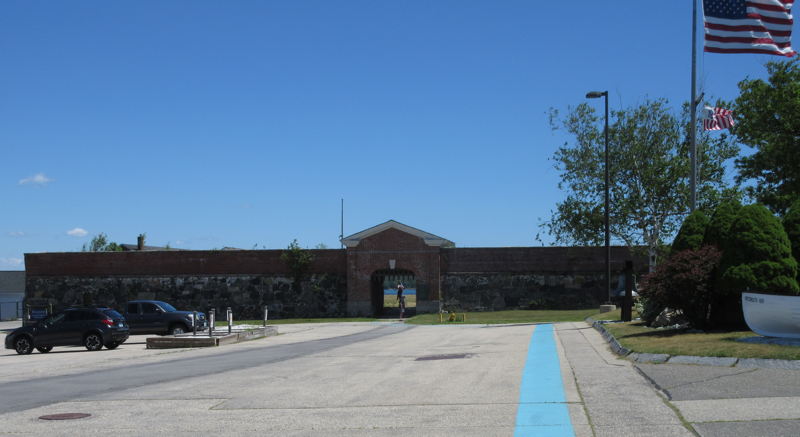
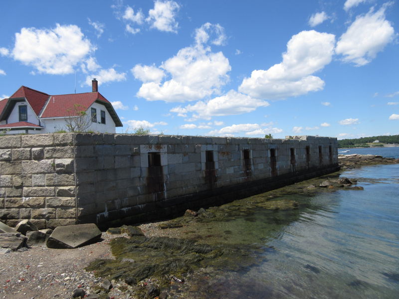
Fort William and Mary Fort William and Mary was a colonial fortification in Britain's worldwide system of defenses, manned by soldiers of the Province of New Hampshire who reported directly to the royal governor. The fort, known locally as "the Castle", was situated on the island of New Castle, New Hampshire, at the mouth of the Piscataqua River estuary. It was captured by Patriot forces, recaptured, and later abandoned by the British in the Revolutionary War. The fort was renamed Fort Constitution in 1808. Photo 68s, July 2016 |
|
|
Fort William and Mary
Photo 69s, July 2016 |
|
|
Fort William and Mary
Photo 70s, July 2016 |
|
|
Fort William and Mary
Photo 72s, July 2016 |
|
|
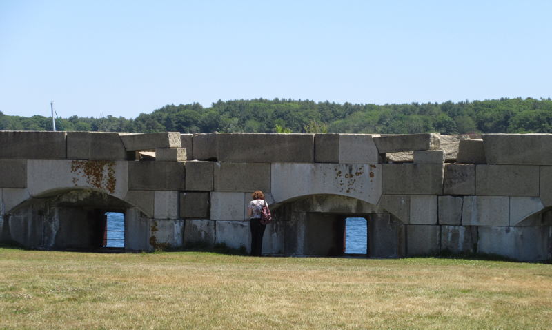
Fort William and Mary
Photo 80s, July 2016 |
|
|
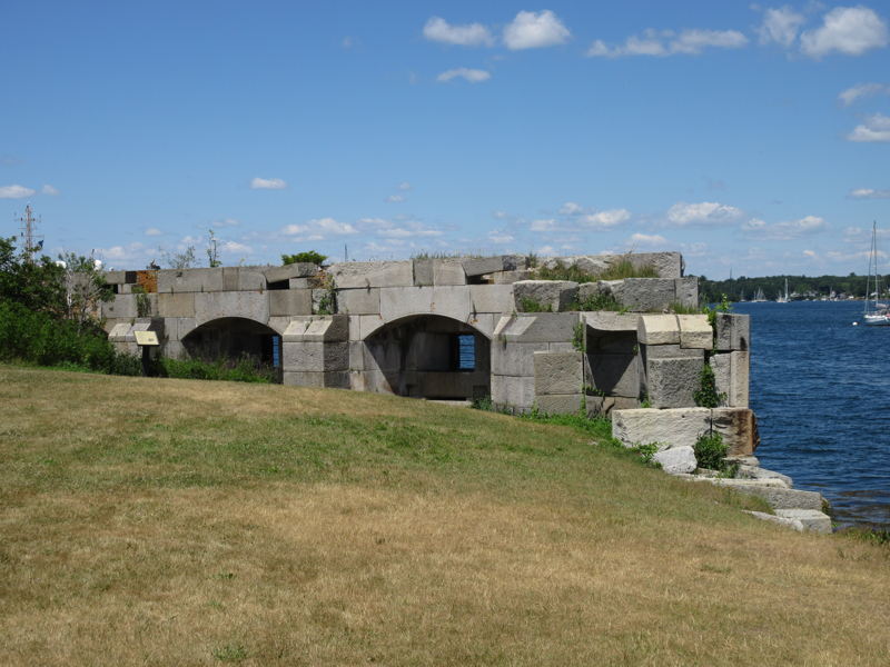
Fort William and Mary
Photo 83s, July 2016 |
|
|
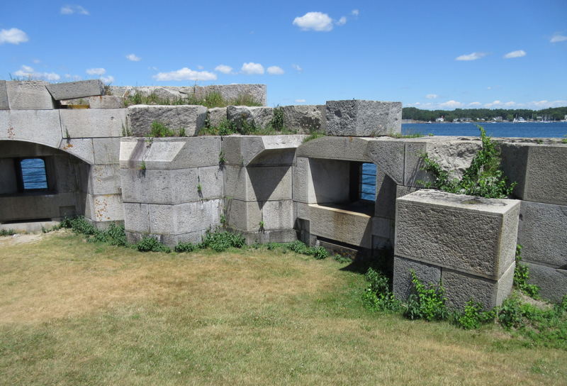
Fort William and Mary
Photo 84s, July 2016 |
|
|
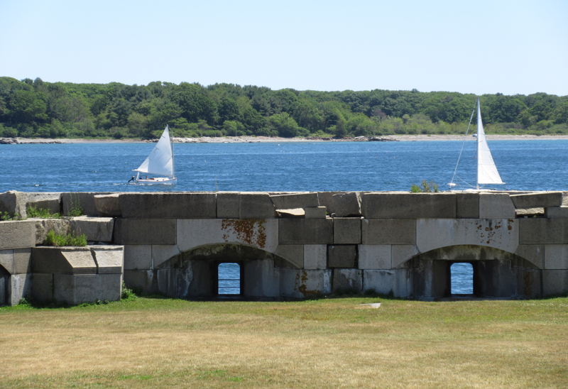
Fort William and Mary
Photo 87s, July 2016 |
|
|
Fort William and Mary
Photo 97s, July 2016 |
|
|
Fort William and Mary
Photo 250, Oct 2001 |

|
|
Fort William and Mary
Photo 254, Oct 2001 |

|
|
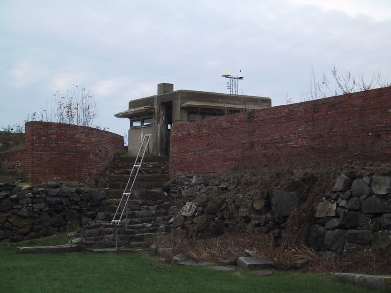
Fort Constitution Fort William and Mary was a colonial fortification in Britain's worldwide system of defenses, manned by soldiers of the Province of New Hampshire who reported directly to the royal governor. The fort, originally known as "The Castle", was situated on the island of New Castle, New Hampshire, at the mouth of the Piscataqua River estuary. It was renamed Fort William and Mary circa 1692, after the accession of the monarchs William III and Mary II to the British throne.[2] It was captured by Patriot forces, recaptured, and later abandoned by the British in the Revolutionary War. The fort was renamed Fort Constitution in 1808 following rebuilding. The fort was further rebuilt and expanded through 1899 and served actively through World War II. Photo 382, Nov 2001 |
|
|
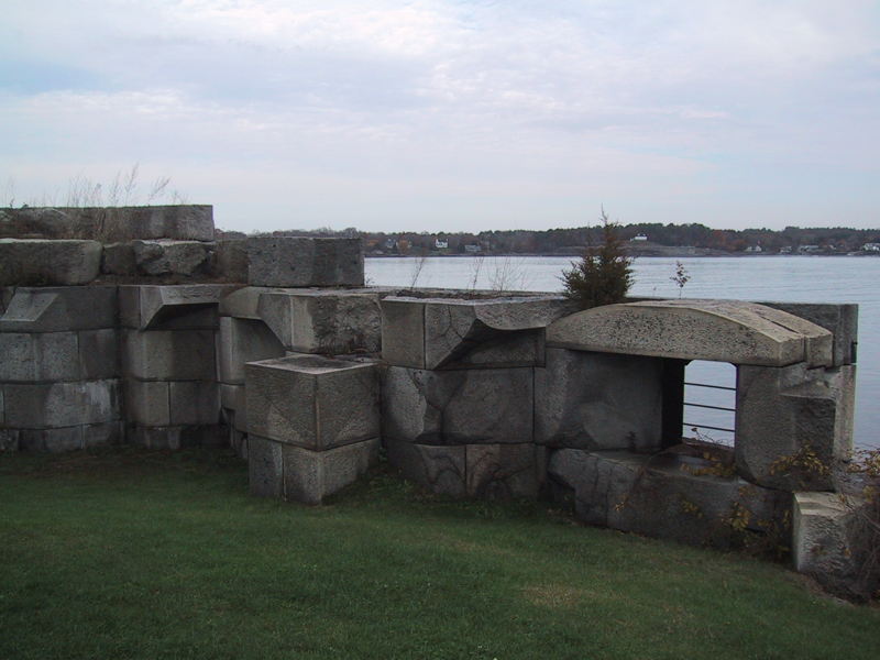
Fort Constitution
Photo 387, Nov 2001 |
|
|
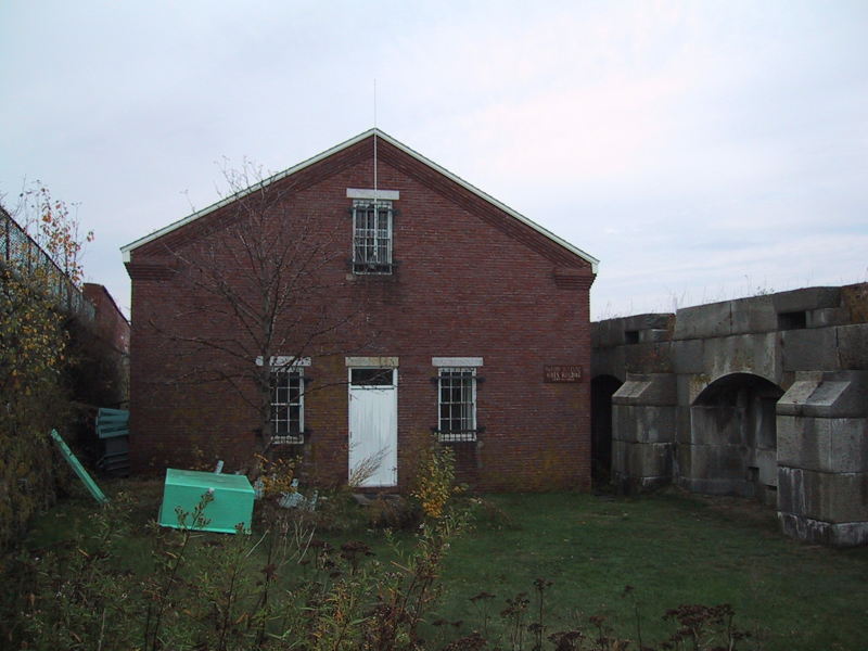
Fort Constitution
Photo 389, Nov 2001 |
|